Map Resources
Below are resources to some useful Maine maps.
-
![Snapshot of map which links to interactive]()
LakeSmart Map
Here is a map created by Maine Lakes showing how many LakeSmart evaluations were completed each year.
-
![Snapshot of watersheds of Maine]()
Watersheds of Maine Map
Lakes Environmental Association provides a watershed map that breaks down into smaller watersheds as you zoom in.
-
![Snapshot of interactive invasive map]()
Invasive Plants through iMap Invasives
This interactive map from iMapInvasives provides information on known infestations of invasive plants. Using your mouse, you can scroll to the state of Maine and zoom into your area. Be patient, there is usually a lot of data to load. For more information and to become involved with reporting findings, you can download the iMap Invasives app. A great StoryMap can be found here which helps provide more info.
-
![Snapshot of interactive map]()
-
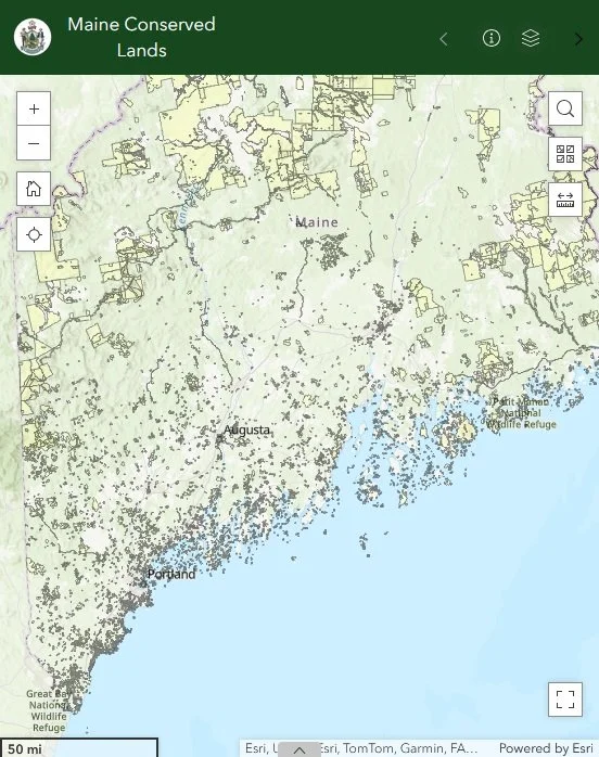
![Snapshot of Maine Conserved Lands map]()
Maine Conserved Lands
This map displays conserved lands managed by the Maine Department of Agriculture, Conservation and Forestry (DACF), including state parks, public reserved lands, and other properties protected for recreation, wildlife habitat, and natural resource conservation.
-
![Snapshot of aerial photos website]()
Aerial Photos of Maine
This site looks complicated, but if you are interested in seeing aerial photos, this is a good place to start. Zoom in to an area to see lines encompassing areas, then click “view” under “View Photos Online” for images.
-
![GeoLibrary Data Catalog website snapshot]()
Advanced Maps
If you are looking for maps for research or to work with, this resource through the Maine Geolibrary can be useful.
-
![Snapshot of Habitat Maps]()
Maine Department of Inland Fisheries & Wildlife
The Interactive Map Viewer shows important ecological areas in Maine. The Stream Habitat Viewer highlights barriers to fish and wildlife in inland streams. More maps can also be found here.