

District Services
Due to staffing limitations, some services are currently outsourced. If work is outsourced, fees may vary based on the request. If you don’t see a service listed, please reach out to us.
Landowners
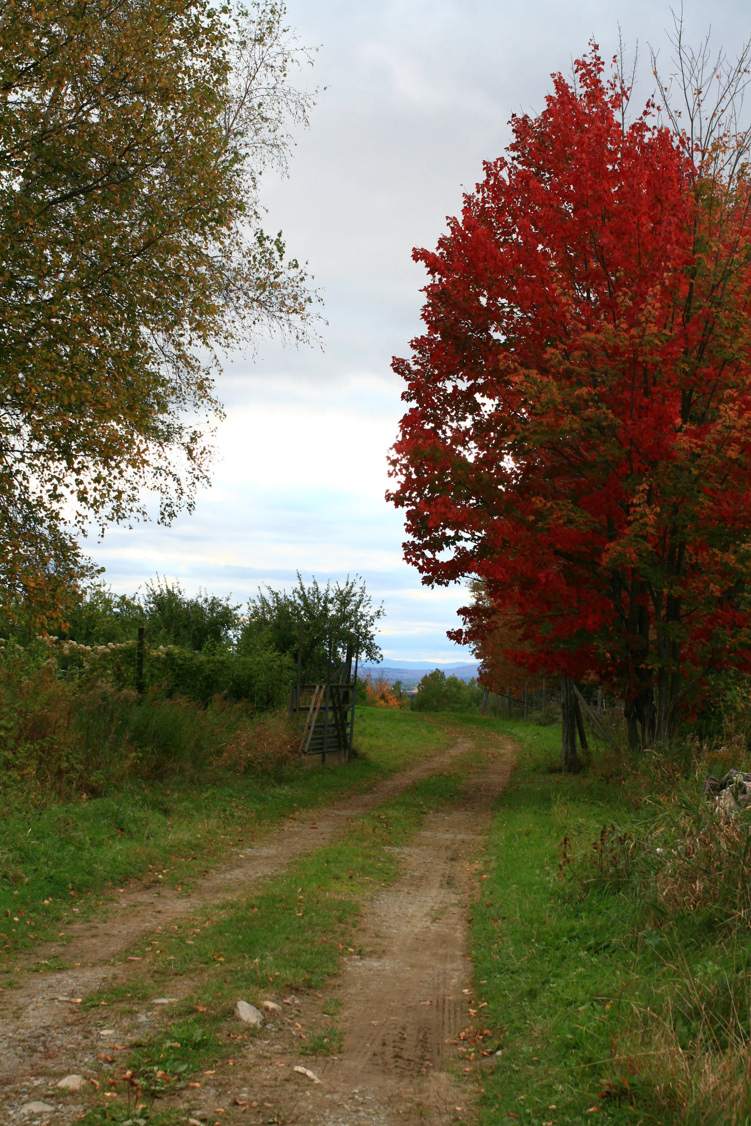
Recommendations/information on erosion problems, buffer planting, road maintenance, shoreline stabilization, or other water related resource issues.
Identify information, groups, and/or financial assistance relevant to individuals’ needs.
For visits: The first visit is complimentary so we can discuss your property and goals. If you’d like a written plan or design afterward, I can provide a quote for that.

Road Associations
Recommendations regarding the design and maintenance of private ways.
Assist association with development of a long-range maintenance plan.
Identify information, groups, and/or financial assistance relevant to association’s needs.

Farmers
Develop nutrient management plans
Provide conservation planning
Conduct soil assessments
Support grassland bird habitat management
Municipalities
Information/assistance concerning road related erosion problems.
Assist municipal officials in development of water resource related ordinances.
Maps/aerial photos delineating features such as watershed and municipal boundaries.

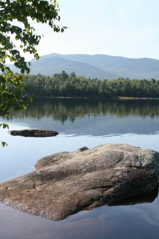
Lake Associations
Maps/aerial photos delineating features such as watershed and municipal boundaries.
Coordinate and/or speak at informative workshops covering such issues as: planting buffers, private road maintenance, NPS pollution and water quality, and shoreline stabilization.
Assist in the development of watershed surveys.
Other Conservation Groups/Organizations
Design conservation practices that solve erosion problems.
Coordinate and/or speak at informative workshops covering such issues as: planting buffers, private road maintenance, NPS pollution and water quality, and shoreline stabilization.
Provide watershed characteristic data for use in assessment reports.
Technical Assistance Fees
The Kennebec District currently charges a $65 flat fee for technical assistance (TA), and $75/hr for GIS.
Esri GIS services, including integrations with Field Maps, Survey123, StoryMaps, and Dashboards, are available. For compliance reasons, these integrations must be accessed through your organization’s Esri license, using an existing account or one created for this purpose.
For standalone mapping or non-integrated GIS work, we can use our own license.
Please contact us for questions about our services or to request a quote for project-specific work.